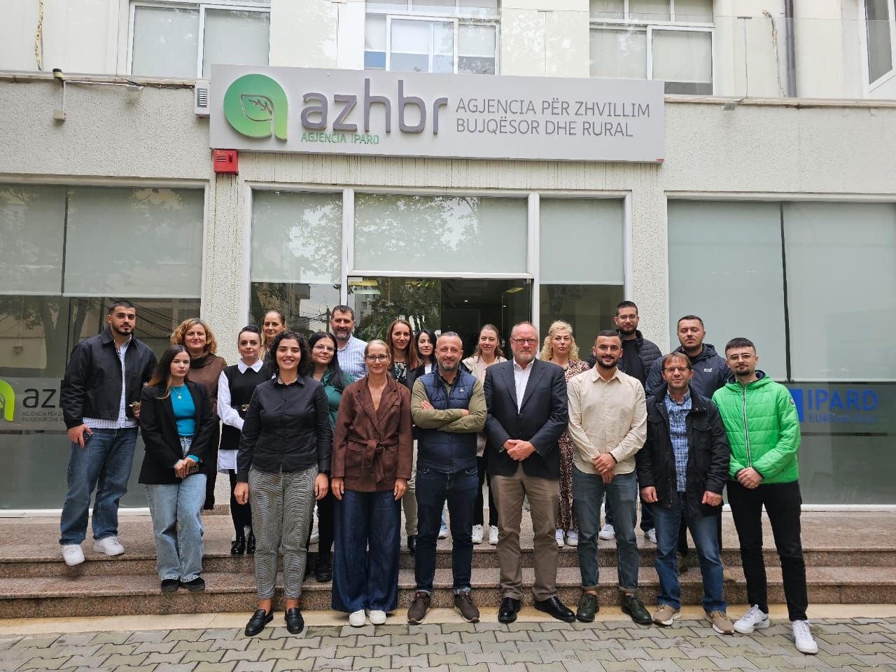
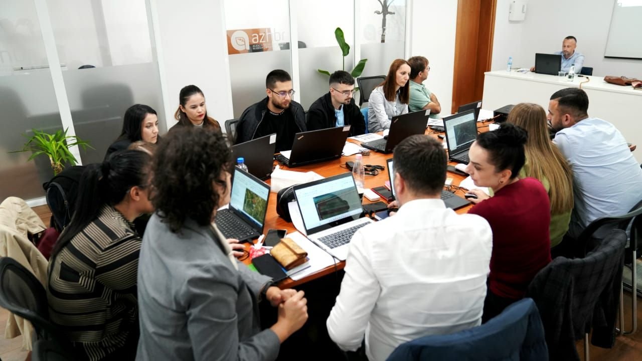
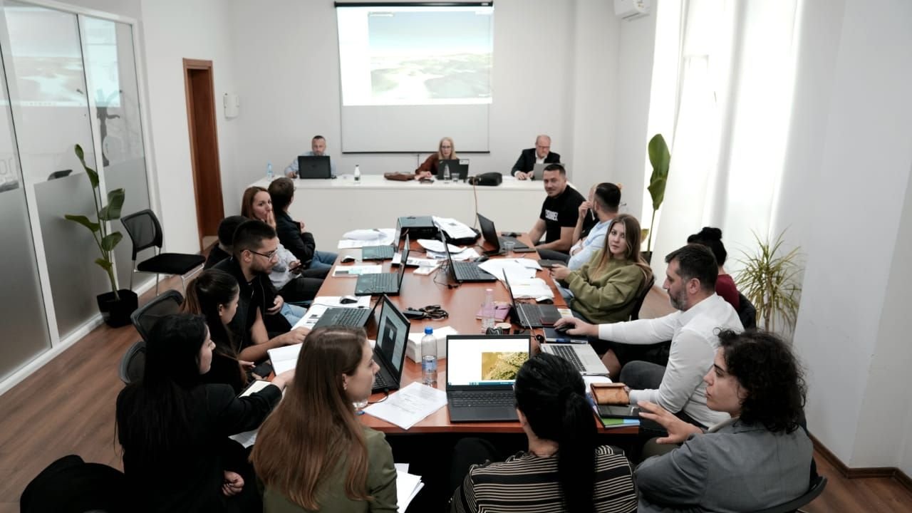
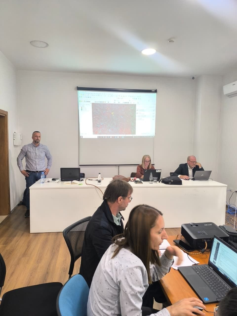
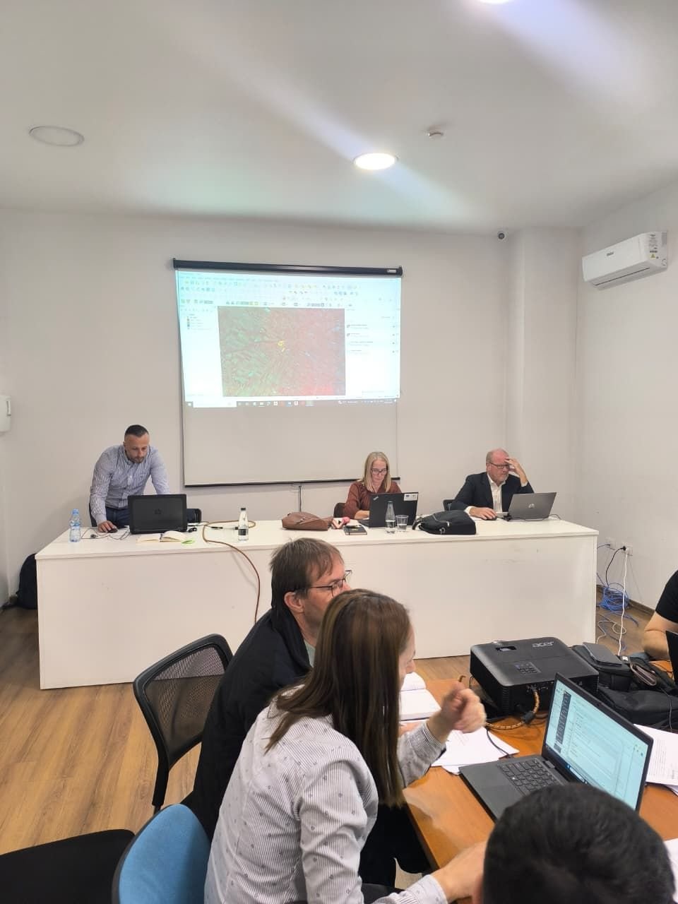
The GEO-WB6 Centre is serving as the primary technical training provider for the Albanian Land Parcel Identification System (LPIS) pilot project, focusing on building the capacity of Agency for Agricultural and Rural Development (ARDA) staff in using QGIS software for agricultural parcel delineation. The Centre is delivering comprehensive training on QGIS functionality, with particular emphasis on parcel digitization techniques essential for LPIS creation. Beyond initial training, the GEO-WB6 Centre will provide ongoing technical supervision during operational delineation activities, offering solutions to problems encountered, assisting with data compilation and analysis and ensuring quality control throughout the digitization process.
The GEO-WB6 team remains committed to supporting ARDA in establishing a robust and sustainable LPIS that meets European standards, contributing to transparent agricultural subsidy management and rural development in Albania.