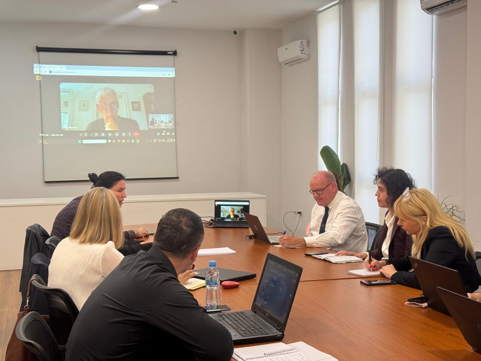
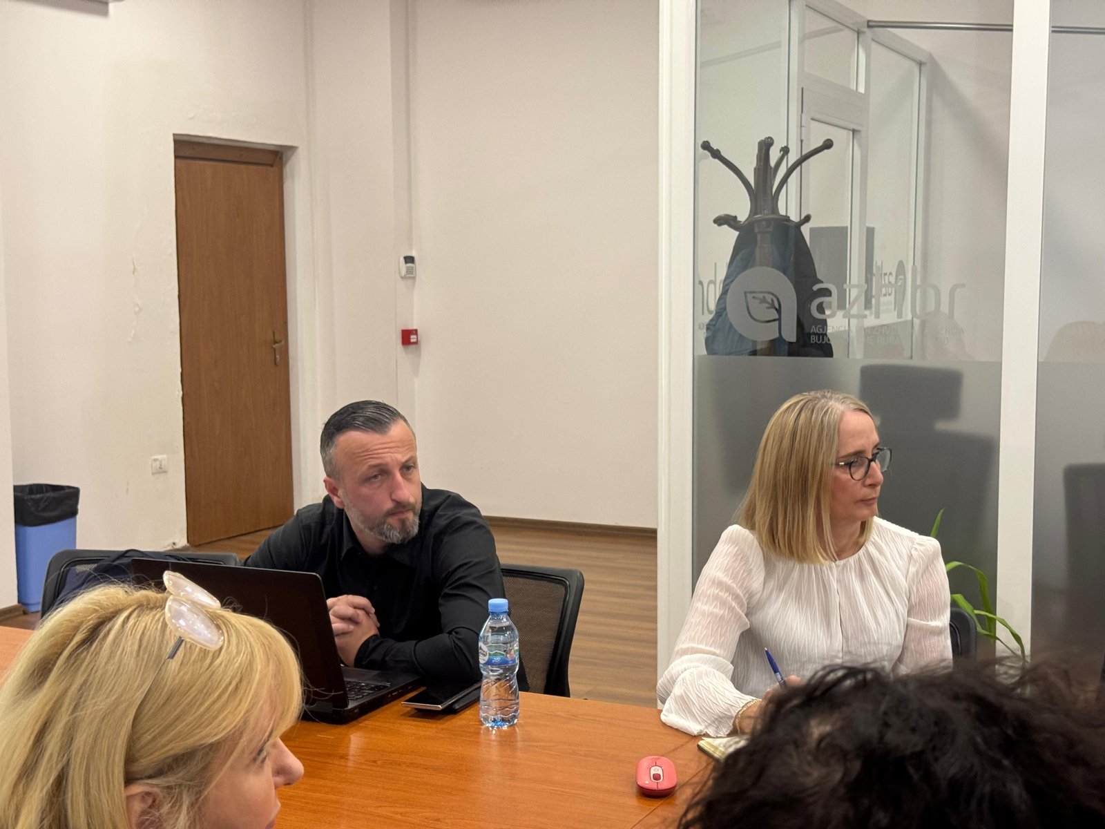
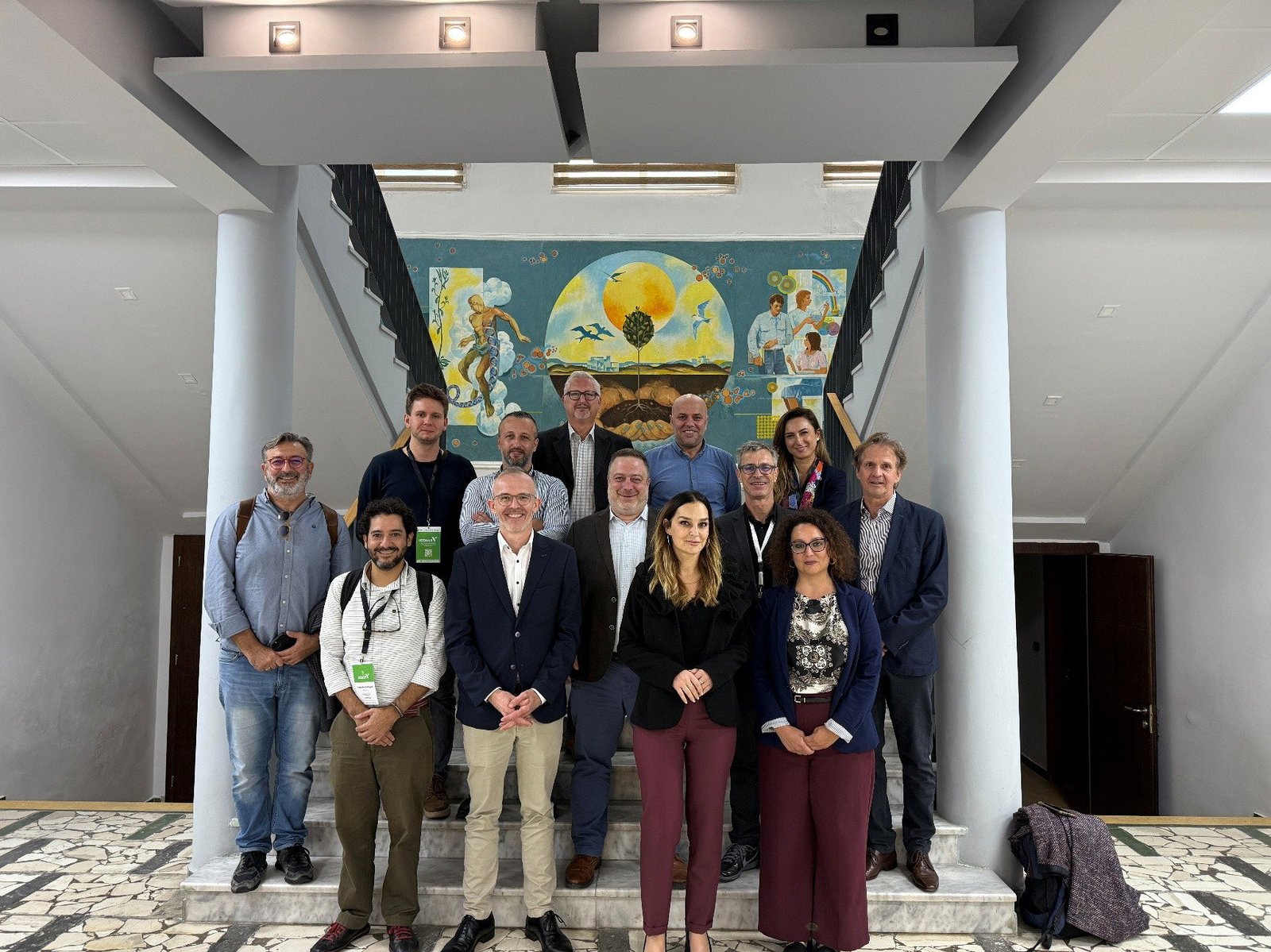
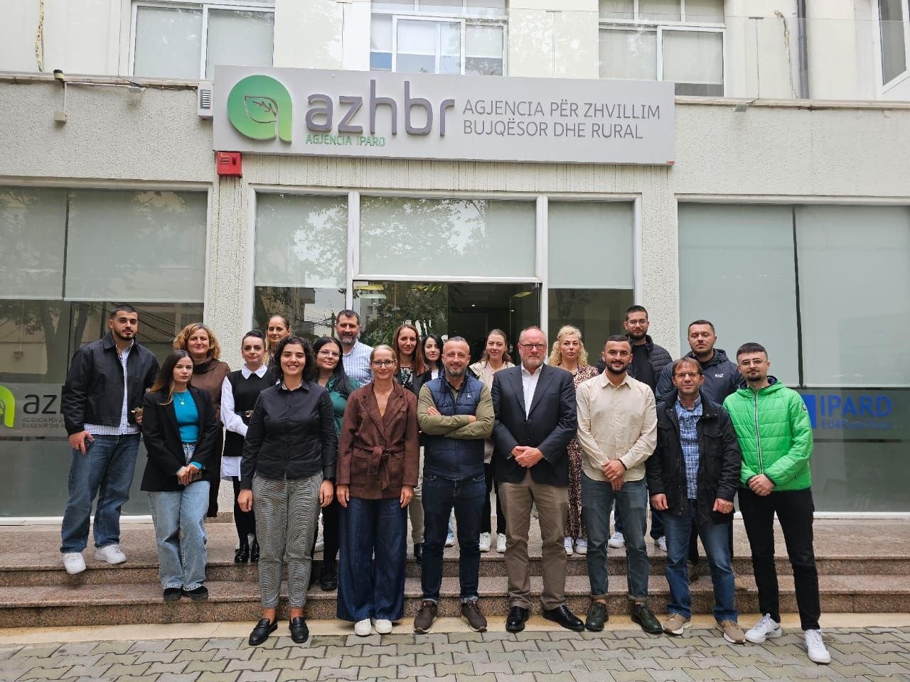
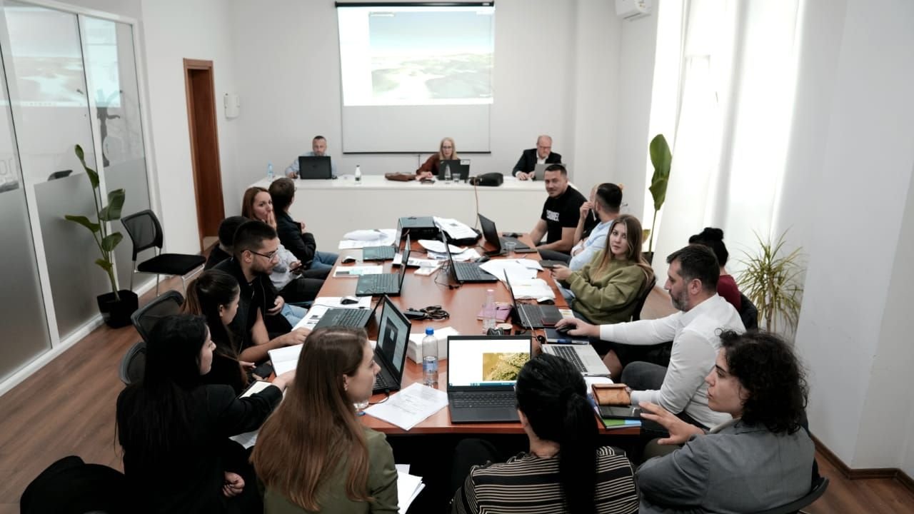
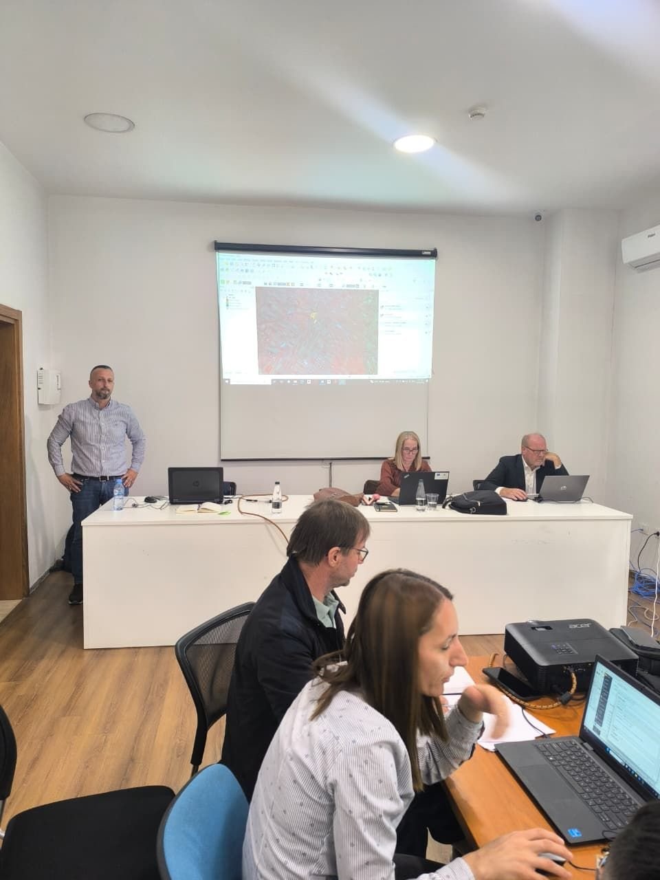
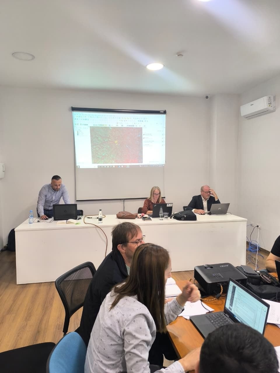
The Land Parcel Identification System (LPIS) pilot project (Berat county) at the Agency for Agricultural and Rural Development (ARDA) was successfully concluded on December 10, 2025, in Tirana. The final meeting, attended by GEO-WB6, Joint Research Centre D.5 staff, EU Delegation and UNOPS representatives, reviewed the comprehensive results of the initiative, which captured approximately 35,000 hectares of agricultural land in a new LPIS dataset based on physical block reference parcel rules. Through continuous technical assistance and oversight from the GEO-WB6 team, ARDA staff gained valuable operational experience.